Just click on a thumbnail and a new window will open with a larger picture.
 |
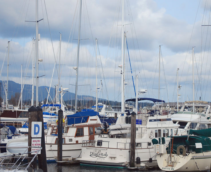
After a few weeks of soggy northwet weather, the weatherman just couldn't stand it anymore, (probably got tired of the abuse) and a forecast was issued for a day of partial sun. So.....why not a day trip around Lummi Island? My buddy with the dreadlocks gave me a disapproving look as I unsnapped the canvas on the flybridge. But I had | ||
 |
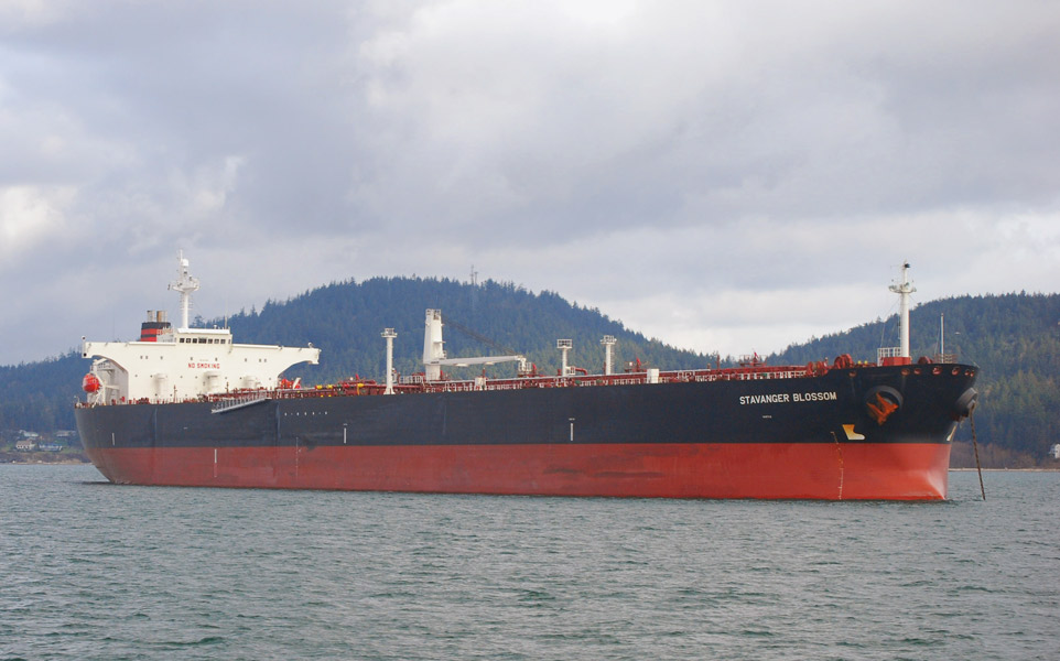 |
never been around Lummi, so why not see what it looks like. Leaving the marina, the morning skies were overcast, but at least it wasn't raining; I could almost pretend to see a patch of blue, here and there. There was a light wind out of the South....good a time as any to look for that partial sun. A black and red hulled tanker, the Stavenger Blossom, was anchored in the bay. | |
 |
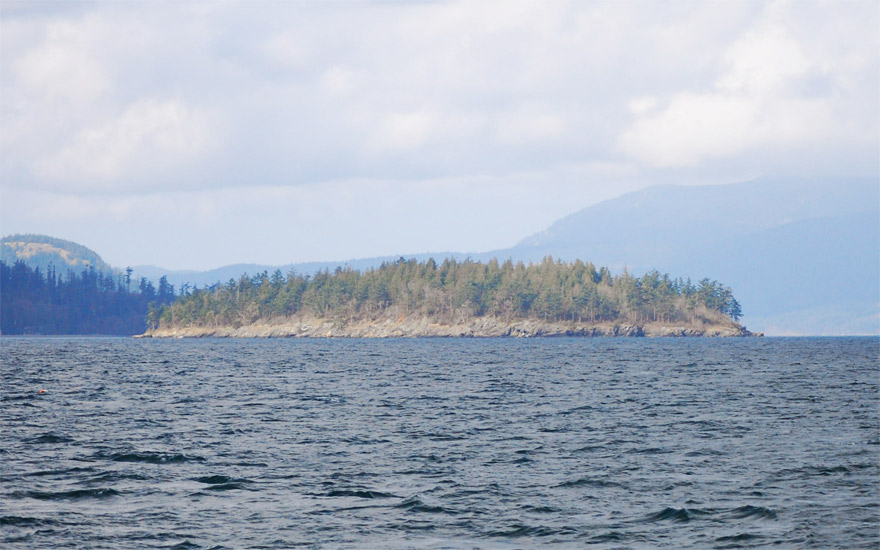 |
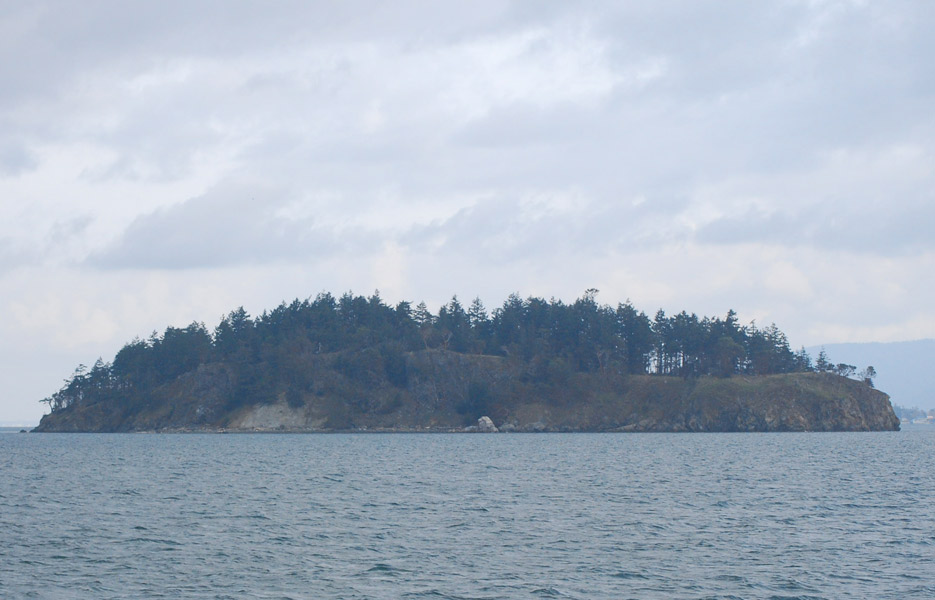
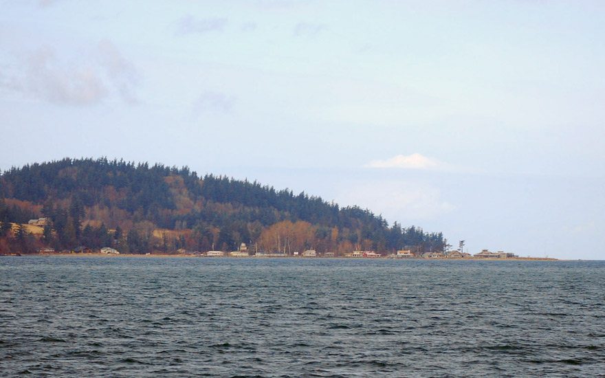
Huckleberry Island under gray skies, followed by Jack Island. Wait, there's some of that partial sun. Too bad that partial sunshine is so far away. I've never explored either island, perhaps that's a future adventure. I really like the Pegasus, a good no nonsense workboat, custom built for fishin' crab. |
|
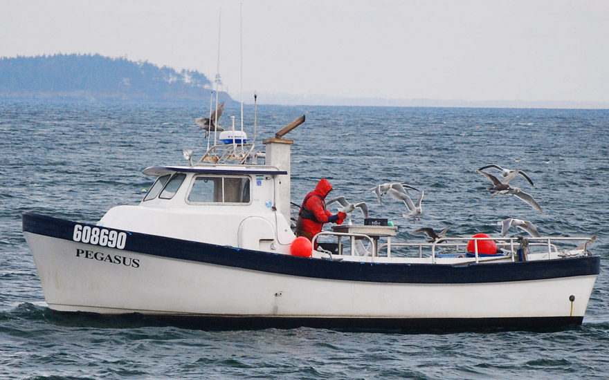 |
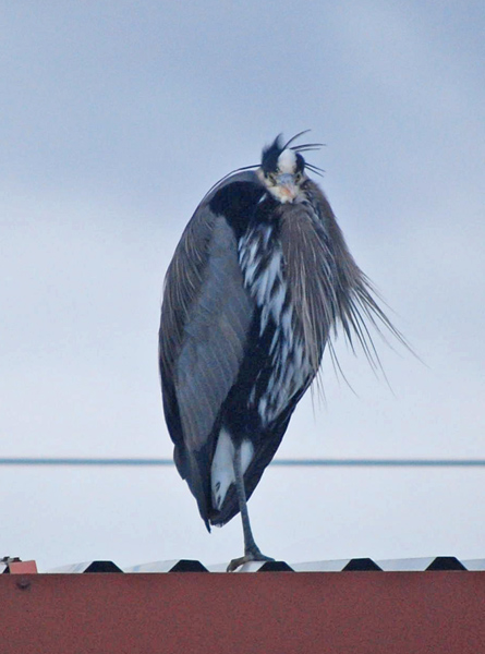
And the seagulls seem to enjoy the bait scraps. There is a touch of sun on the Lummi's flank, but Lummi Peak (el.1657') is hidden in the clouds. The southern tip of Lummi is Carter Point. | 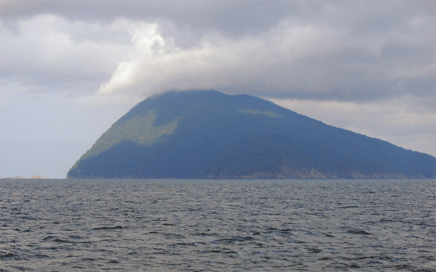 |
 |
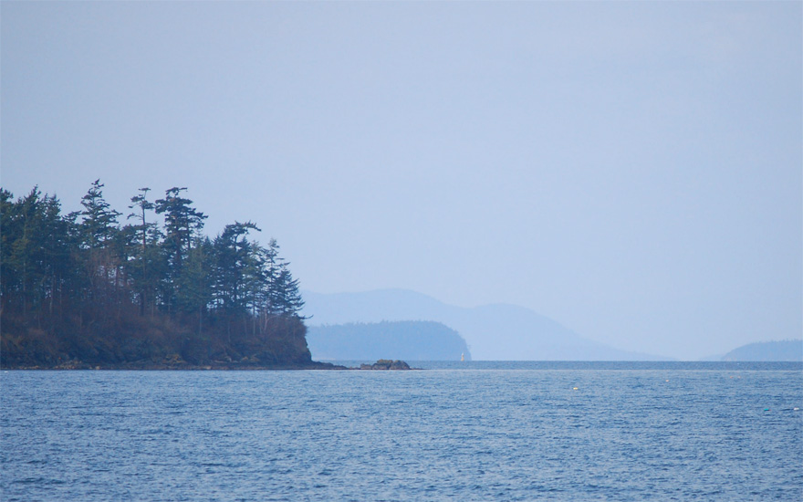
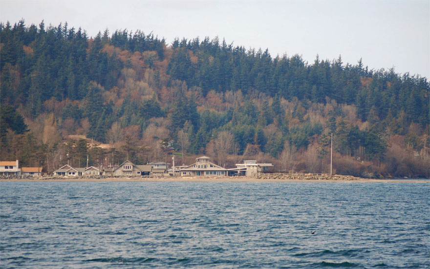
| Eliza Island looks interesting, just East of Carter Point. It's fun to take a few pics and then search out a few facts and stories. Here's one for airplane fans and here's what Wikipedia has to say. | 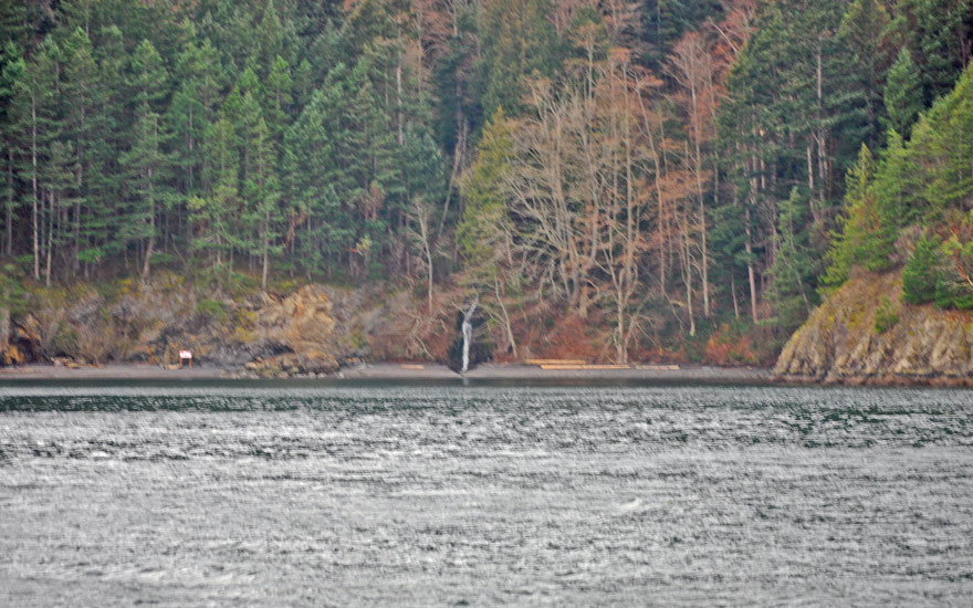 |
North of Carter Point is beautiful Inati Bay a.k.a. Smuggler's Cove. Anchorage rights were once in dispute, but the issue is settled. We missed the Lummi DNR Campsite, but it demands exploration. | 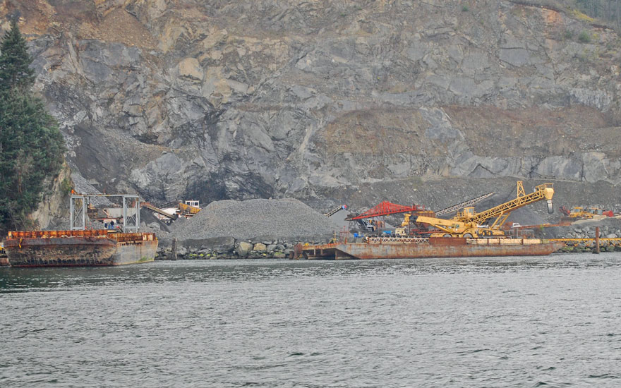 |
 |
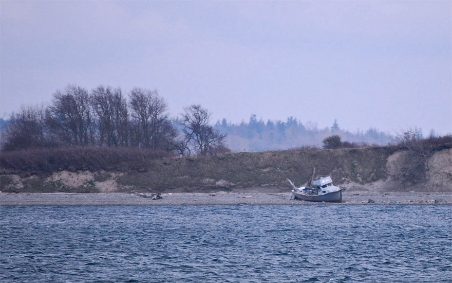 |
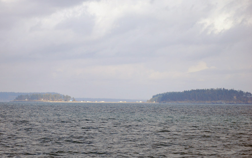
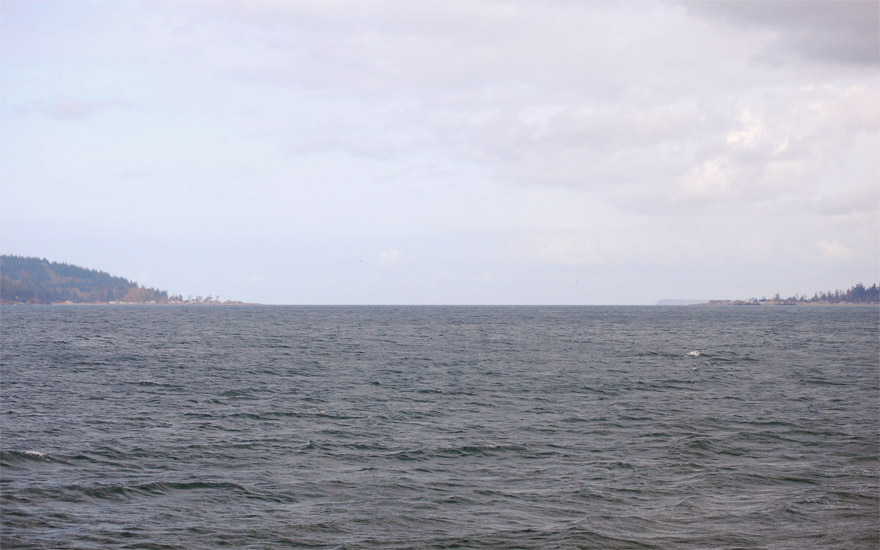
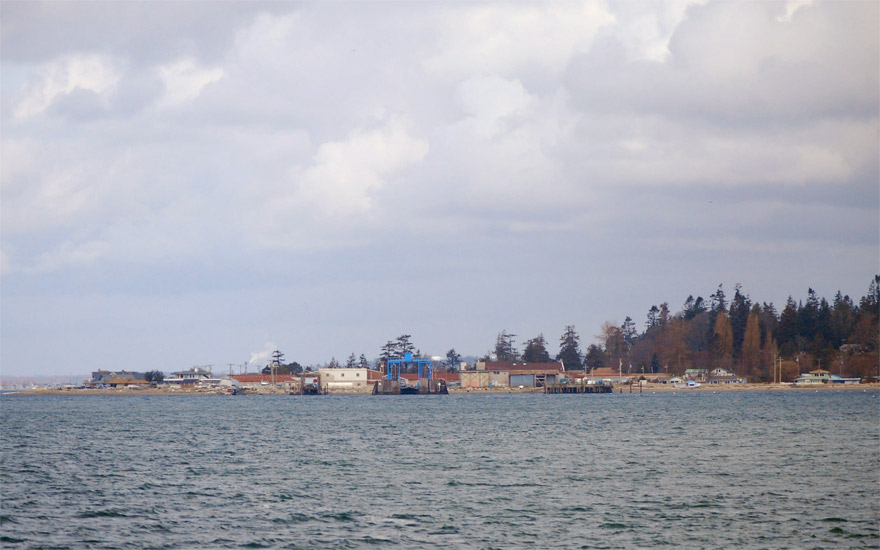
As we continue North through Hale Passage. we pass by a gravel operation that I thought was interesting. How do you get permits for such an endeavor in today's PC climate? And I had to get a pic of how expansive Hales Passage really is, even though it looks narrow on the charts. Then there's the old fishin' boat on the beach.....probably retired. |
|
 |
 |
|
Moving on up the Lummi coastline there is Richards Mountain and Lummi Point a.k.a. Lane Spit. Opposite, on the mainland is Goosberry Point and one end of the Lummi Island Ferry. |
 |
 |
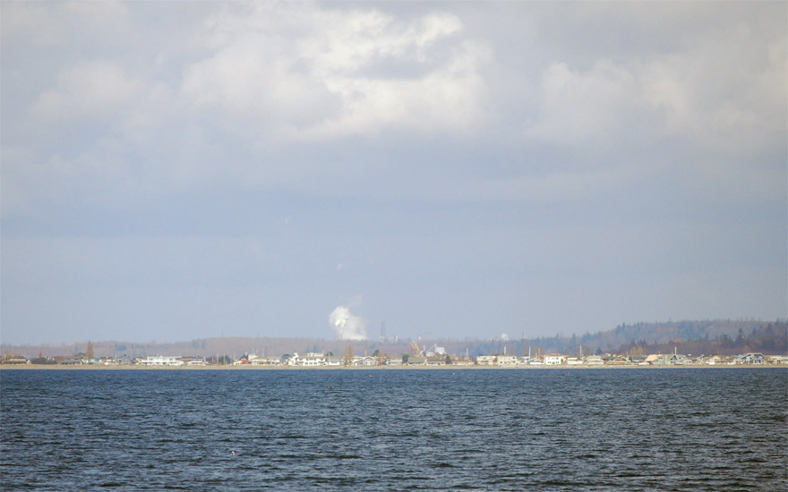
Beyond Gooseberry Point, there's Lummi Bay with the Conoco Phillips refinery at Ferndale in the distance. Point Migley defines the north end of Lummi Island. |
|
Send me an EMAIL |
||||
Copyright © 2008 Gerald Albertson All Rights Reserved